

I love a book with a map. I enjoy inspecting maps closely before I start reading, and guessing which parts are purely decorative and which parts are significant to the story.
Unstable Orbits nearly had a map. The geography of Ebeham, the town in which the book takes place, is clear in my head. I know the layout of the school buildings and the view across the playing fields from the sixth form block. But there’s no real benefit to the reader from a map like that. People know what a town looks like. They know what a school looks like. It’s better to let a reader’s imagination own parts of a story that don’t need to be anchored in something concrete for reasons.
For Between Two Worlds the situation is different. The story takes place aboard the generation ship Capricorn, a colony wheel, where each of its ten sectors is 80 km long and 10 km wide. The views, while stunningly mundane to the inhabitants of Capricorn, have never been experienced by any reader and might be hard to imagine. The geography of the wheel matters, even if it’s to understand what Pod, the narrator, sees when he talks about the Kusk wall or the hub.
In an earlier post I showed you the high-level view of Capricorn. Now I want to zoom in a little and focus on a single sector: Ossi, where Pod and his friends live.
The tread of the sector, where people live and work, is not laid out in a neat grid. We’d recognise it as a natural, agricultural, rural landscape — if not for the elements beyond the tread that reveal how unnatural it is, like the hub, the ladders, the walls, the curve of the wheel, the fast spin of the stars, and so on.
Ossi contains eight towns, each on or near the central axis. Each town contains administration and other offices, residential areas, educational facilities, recreational plazas, and so on. Ossi also has several lakes of different shapes and sizes, usually near the towns. This landscape and the towns were originally laid down by the ansters who built the wheel. Since launch the towns have grown and evolved, as has the landscape to an extent: mostly to increase the area used for farming.
A single main road links the towns, snaking through the sector from one wall to the other. The residents of Ossi call this road the black, because its black surface stands out against the agricultural surroundings.
A dense forest about 5 km thick occupies the full width of Ossi sector near the wall to Kusk, the next sector spinward. The black struggles through the forest, weaving more here than it does elsewhere.
Pod and his friends live in a cabin near the town of Peba, which is about 20 km from the other end of the sector, and closer to the wall to Lun, the next sector spoutward. A later post will talk more about cabins.
Here’s a rough map of Ossi, shown in the book as part of “A guide to Capricorn”. I’ve marked the location of Pod’s cabin, not far spoutward and narv of Peba. In the book, the map is split into three to make it easier to see on Kindles and in paperbacks. This is the full thing, spinward to spoutward!

(Confidential to you, dear reader: I have a version of this map showing Pod’s movements chapter by chapter, with additional points of interest. No, I’m not posting it. I’m just being a bit smug about it.)
Do you have any questions about this map? Which parts do you think will play a part in the story? Is there anything else you’d like to see?

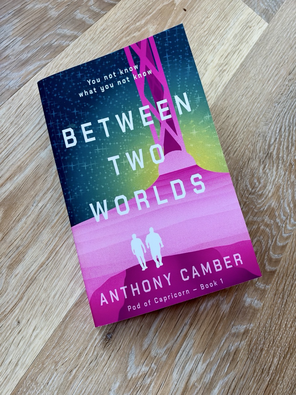
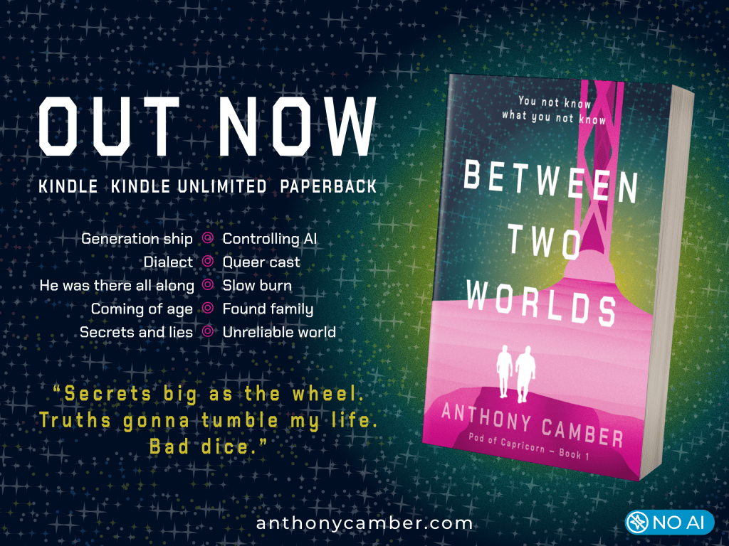
Between Two Worlds is available from September 1, 2026 for Kindle and Kindle Unlimited, and in paperback.
Preorder for Kindle: UK USA Canada Australia Germany France Spain Italy Netherlands Japan Brazil Mexico India
Add to your Goodreads TBR or StoryGraph TBR
Subscribe for FREE for chapter 1 and a bonus story:








Leave a comment